ASU engineer solving the puzzle of regional water management
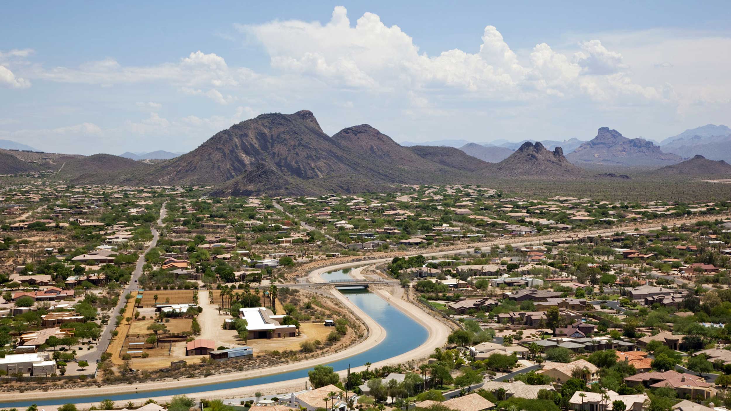
The Colorado River Basin is the lifeblood of the Southwest. Over the past century, reservoirs, aqueducts and pump systems have stored and moved water to enable the region to thrive.
Water managers have optimized the use of this great river as well as streams, groundwater and seasonal rain and runoff to support local drought resilience. However, demands from growing cities, rising temperatures and changing precipitation patterns are putting a strain on water sources in new ways. The western United States needs to act to keep the water flowing.
Typically, water management assessments and strategies look only at the balance of water supply and demand within a natural or artificial boundary, such as a watershed, state, city or utility’s area of service. But water networks often cross boundaries in unexpected ways, and a change in one city’s water use can have unforeseen effects in service areas near and far.

Photo Archive/2017/08-August/Margaret-Garcia
Margaret Garica, an assistant professor of civil and environmental engineering in the Ira A. Fulton Schools of Engineering at Arizona State University, wants to make water use trade-offs more transparent for resource system decision-makers.
“The more flexibility there is locally to draw on different sources and make use of water during shortage throughout the network the better — for local reliability,” Garcia says. “However, the combination of individual water management agencies making locally rational decisions can have negative consequences for the network as a whole.”
A full understanding of the risks and advantages of decisions about local water network infrastructure is possible only when analyzing them at a larger scale. This isn’t easy to do, as it requires a highly multidisciplinary set of talents, including expertise in hydrological patterns spanning time and space, and knowledge of water infrastructure operations and government workings at multiple levels.
“Putting these pieces together is a significant challenge both in terms of data and modeling,” Garcia says. “While challenging, combining these elements in analysis enables a fuller picture of both the vulnerabilities and the adaptive capacity of these systems.”
As part of a five-year National Science Foundation Faculty Early Career Development Program (CAREER) Award project, Garcia is combining methods and theories from multiple fields to develop a set of models to help policymakers to make informed decisions about water.
“These water systems consist of many components, processes and levels, and it is not straightforward how to identify the critical aspects for analysis and modeling,” Garcia says.
Her work in this area is possible because of recent innovations that draw on ancient water measurements to understand the spatial correlations of drought at a continental scale. Other researchers have used historical tree ring data to construct a U.S.-wide map of drought intensity, which Garcia is using as an input for the models.
Her plan is to use historical and projected data on regional water systems to create a model of the Western Water Network, which encompasses the Colorado River Basin and a large part of the Southwest. She will also build and test another model that will simulate routine water infrastructure operations and adaptive changes to better assess how changes in water use and availability affect local and systemic resiliency.
“Over the next five years, we will better understand which interventions (infrastructure projects, policy changes, new data sources and more) impact the outcomes we care about,” Garcia says.
This work comes at an opportune time, as existing Colorado River Basin water sharing rules are set to expire in 2026 — just after Garcia is set to complete her CAREER Award research project. Negotiations are currently underway to address the overallocation of water from the Colorado River Basin, which affects Arizona, California, Colorado, Nevada, New Mexico, Utah and even Wyoming.
“If this work is successful, we will have the data, methods and tools to evaluate the tradeoffs of different infrastructure and policy interventions from both the local and system-wide perspectives,” Garcia says.
By understanding small- and large-scale tradeoffs, engineers and decision-makers can develop creative infrastructure and institutional design to mitigate shortages. They will also be able to do this more effectively than before, and with fewer negative consequences for geographical neighbors in the same overarching water network.
And since Interconnected river basins aren’t unique to the Southwest, the lessons learned from the region’s water systems can be applied to other networks around the world.
Monique Clement
Communications specialist, Ira A. Fulton Schools of Engineering
(480) 727-1958 | [email protected]
More news from ASU Engineering

13 ASU engineering faculty earn the prestigious NSF CAREER Award

ASU, Banner Health team up to ease COVID-19 patient isolation
Engineering students supply PPE to health care providers

Shedding new light on nanolasers using 2D semiconductors
Technology engineered at ASU 50 years ago helps battle COVID-19 infection